Information Collecting Units
Center for Geographic Information Systems (GIS) at the Research Center for Humanities and Social Sciences (RCHSS), Academia Sinica
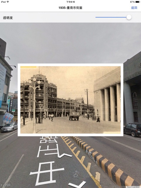
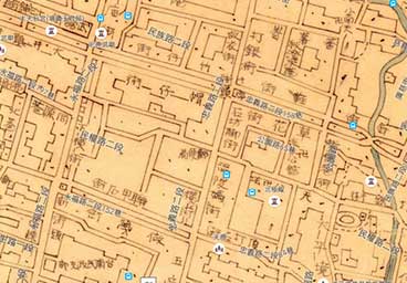
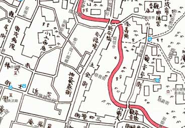
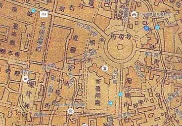
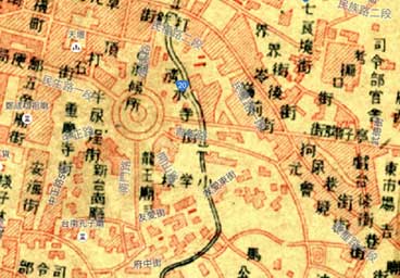
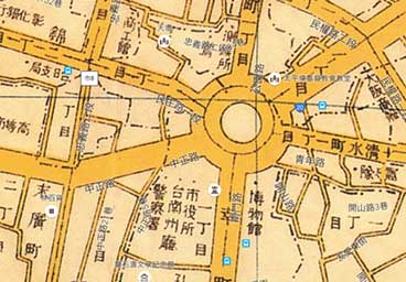
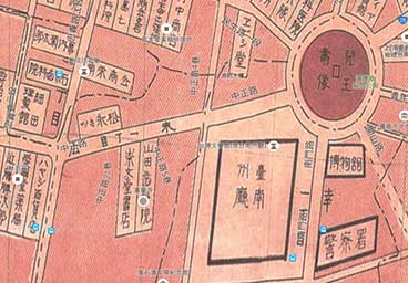
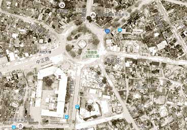
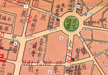
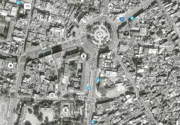
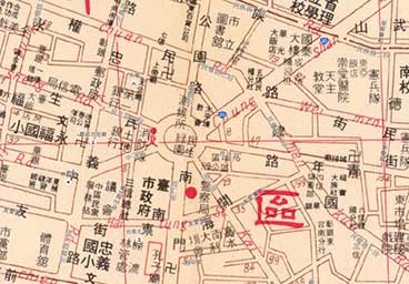
In recent years, Geographic Information Systems (GIS) have proven to be a useful research tool in the fields of humanities and social sciences. Academia Sinica's Research Center for the Humanities and Social Sciences established its own GIS center in 2006, to gather and integrate large quantities of digital resources, including maps from different eras, aerial photographs, satellite images, and statistical data. The center has applied GIS technology to these resources to create a series of databases and systems for academic use, such as Taiwan Historical Maps in the Last One Hundred Years website , the Integrated Map Search System, Taiwan History and Culture in Time and Space (THCTS), Chinese Civilization in Time and Space (CCTS), Culture Resources Geographic Information System, and Map Exhibition - Statistical Geographic Information System. These tools, and the rich research materials that they contain, are assets for researchers in the humanities and social sciences, and local history and culture. For more information, please visit the website of the Center for Geographic Information Systems (GIS) at the Research Center for Humanities and Social Sciences (RCHSS), Academia Sinica.
Institute of Taiwan History at Academia Sinica
Academia Sinica's Institute of Taiwan History was first proposed in 1993 to continue the work of the Taiwan Historical Field Research Program, gathering historical documents and materials. After its official opening in 2004, it participated in several digitization programs, creating digital databases of rare literary and historical sources, including ancient Chinese classics, government documents, biographical materials, and images. The photographs presented in this app are from the Taiwan Rare Book Collections Database, created by the Institute of Taiwan History.
National Taiwan Library
The archives of the National Taiwan Library contain over 160,000 volumes of old printed materials in the Japanese language. Originally maintained during the period of Japanese rule by the Library of the Office of the Governor General of Taiwan and the Southern Asian Archives, many of these invaluable, out-of-print materials began to be digitally archived in 2005. At this time, the old Japanese language printed materials that had already been photographed for micro-film were also digitized, and an indexing database was created. The digital content is available for online referencing. The photographs presented in this app are from the "Image System for Books of Japanese-ruled Period", set up by this institution.
National Taiwan University Library
The National Taiwan University Library holds a large collection of books and publications related to Taiwan. The materials held by the institution that were published during the period of Japanese rule contain a wealth of content, spanning topics such as education, sanitation, politics, economics, transportation, geography, environment, plants, animals, mineral products, forestry, animal products, agriculture, society, culture, language, archeology, literature, and travel. Many of these printed materials include illustrations and photographs that provide a record of the scenes of the past. The photographs presented in this app are from the "Database of Taiwanese Old Photos", set up by this institution.

