
Information Collecting Units
Center for Geographic Information Systems (GIS) at the Research Center for Humanities and Social Sciences (RCHSS), Academia Sinica
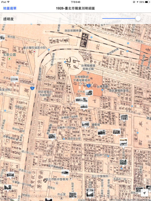
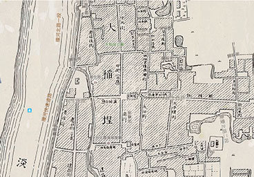
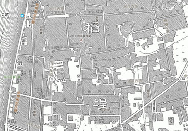
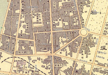
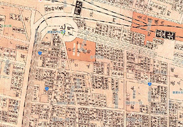
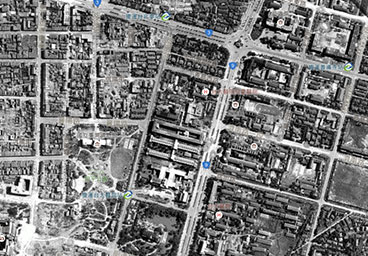
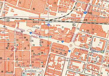
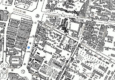
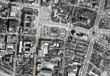
In recent years, Geographic Information Systems (GIS) have proven to be a useful research tool in the fields of humanities and social sciences. Academia Sinica's Research Center for the Humanities and Social Sciences established its own GIS center in 2006 to gather and integrate large quantities of digital resources, including maps from different eras, aerial photographs, satellite images, and statistical data. The center has applied GIS technology to these resources to create a series of databases and systems for academic use, such as Taiwan Historical Maps in the Last One Hundred Years website , the Integrated Map Search System, Taiwan History and Culture in Time and Space (THCTS), Chinese Civilization in Time and Space (CCTS), Culture Resources Geographic Information System, and Map Exhibition - Statistical Geographic Information System. These tools, and the rich research materials that they contain, are assets for researchers in the humanities and social sciences and local history and culture. For more information, please visit the website of the Center for Geographic Information Systems (GIS) at the Research Center for Humanities and Social Sciences (RCHSS), Academia Sinica.
Institute of Taiwan History at Academia Sinica
Academia Sinica's Institute of Taiwan History was first proposed in 1993 to continue the work of the Taiwan Historical Field Research Program, gathering historical documents and materials. After its official opening in 2004, it participated in several digitization programs, creating digital databases of rare literary and historical sources, including ancient Chinese classics, government documents, biographical materials, and images. The photographs presented in this app are from the Taiwan Rare Book Collections Database, created by the Institute of Taiwan History.
The Library of the National Diet of Japan
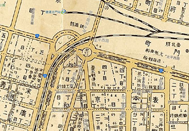
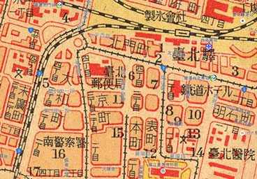
Japan's National Diet Library is a department of the National Diet, responsible for providing the Diet with information. It possesses copies of all books published in Japan. In 1998, it began to digitize its Meiji-era map collection, and after securing copyright, made the maps available on the Internet. Subsequently, it expanded its digitization efforts to maps and publications from the Taishō period. The photographs presented in this app are from the National Diet Library Digital Collections, created by the National Diet Library.
Sunnygate Phototimes
Sunnygate Phototimes collects rare photographs and negatives taken by early Taiwanese photographers and photography studios, then digitizes the images, creates a record for each, and publishes them on the Taiwan Digital Archives website. The collection contains photographs from both the pre- and post-war period, providing a decades-long visual record of local conditions across Taiwan and a true representation of the lives of ordinary Taiwanese people. The photographs presented in this app are from the Insight Taiwan and private family collections.